Food Systems
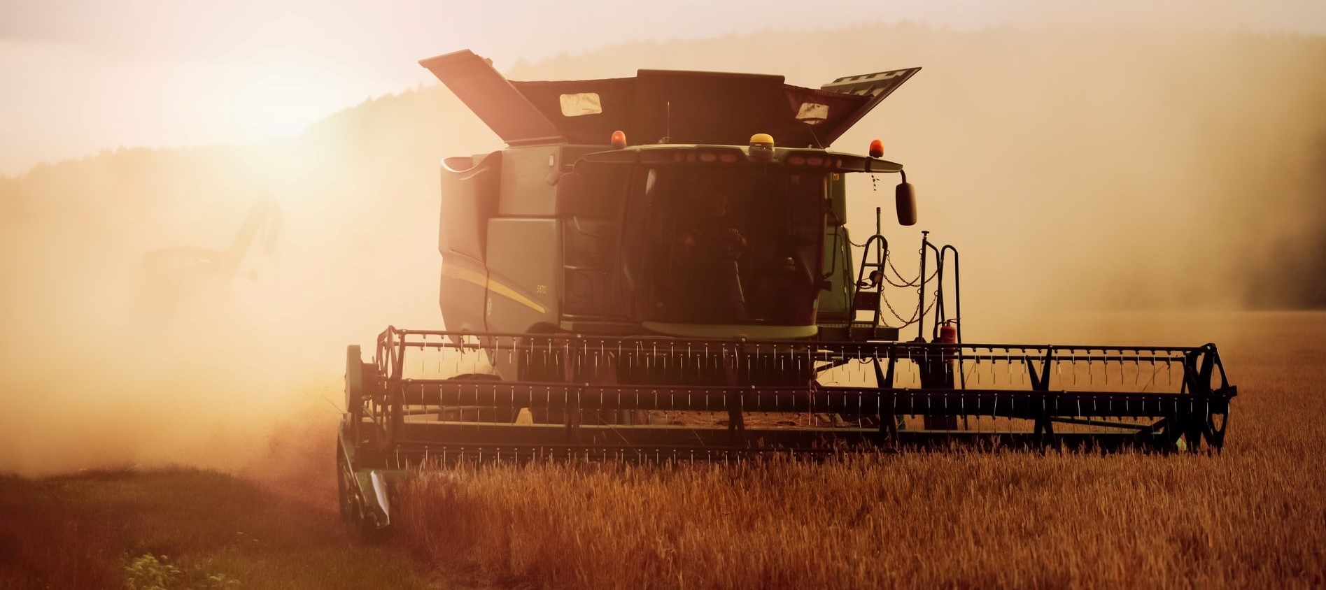
Photo by Robert Wiedemann on Unsplash
Across the world, increasing populations, climate change, pressure on land and changing consumer preferences are combining to increase demands on food production per hectare. While the Green Revolution provided favourable conditions to support food production gains in the past, continued improvements are becoming more difficult as the ‘easy’ gains have all been made, compounded by the need to maintain sustainability. In addition, there is considerable uncertainty about the contribution of agriculture to climate change, but estimates define food systems as contributing up to 26% of global greenhouse emissions1. This range of uncertainty needs to be addressed with better science and data. Policies on agriculture have a strong impact on these figures and there are complex feedback mechanisms at work since farmers may shift from one production method to another, for example, if the economic results are significant.
A Food Systems DTE offers the potential to support, predict and manage food supply chains, allowing for a wide range of issues to be addressed. For instance, development of more robust and sustainable food supply chains in Europe and addressing issues of basic nutrition, food security and famine early warning in other parts of the world.
Seen as a representative problem which could be operationalised within a full Food Systems DTE implementation, this demonstration has a particular focus on how DTE can be used in predicting extreme precipitation in terms of global / regional crop yields and impact on agricultural land use. Within the context of the demonstration, we intend to focus on the modelling and visualisation aspects, generating a number of datasets which together can demonstrate some of the advantages of the DTE concept.
The demonstration is based on a three-stage modelling process, integrating the outputs of novel algorithms with selected Machine Learning extreme precipitation models feeding into global gridded crop models, improving extreme estimates on today’s capability. A further AI regional downscale exercise (allowing for high-resolution on regional scales across the globe) is run before the integration into cropland land use and pricing assessments.
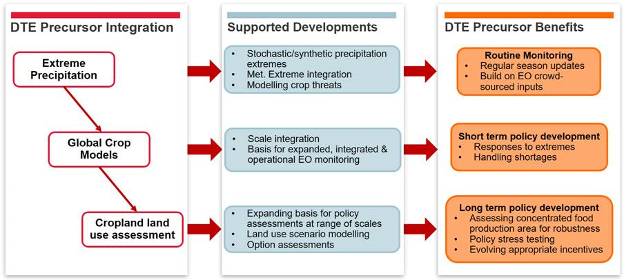
In implementing the demonstration for this use-case, the project hopes to address the challenges associated with the wider DTE concept. These include: scale (producing a full km-scale model of the Earth), communications between elements, model interactions, external model integration, uncertainty propagation, and socio-economic integration.